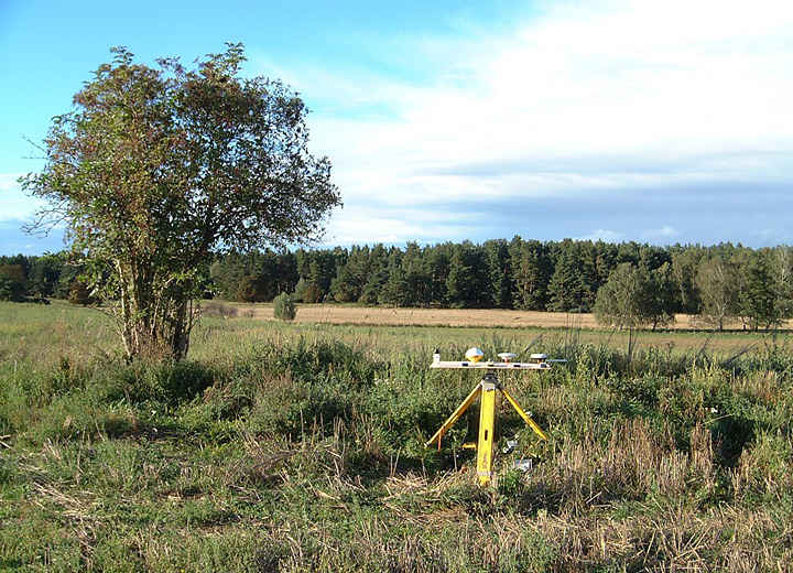
Feld 2002-09-15
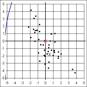
Garmin eTrex Legend
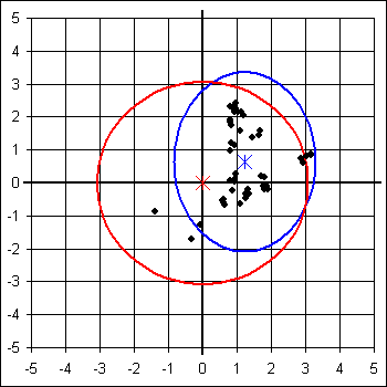
Leica GS50 AT501
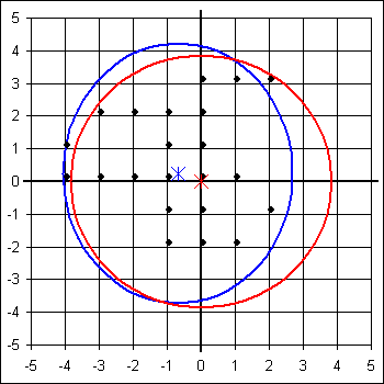
Lowrance iFinder
MLR SP24
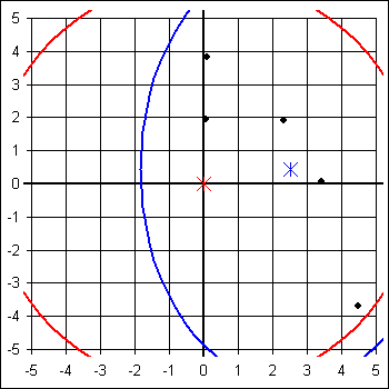
Trimble Pathfinder Power
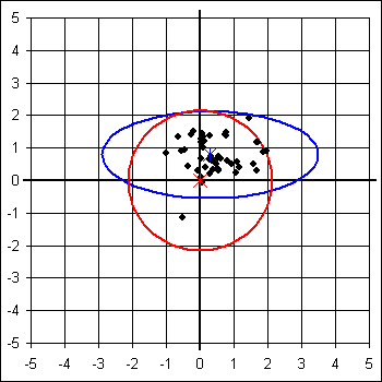
GEOsat GEOmeter 24pro
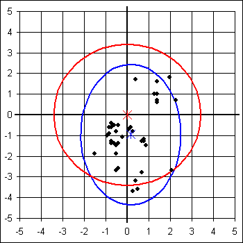
Leica GS50 AT501 Sapos
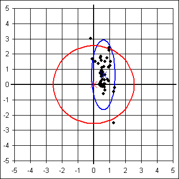
Magellan SporTrak Pro
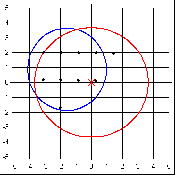
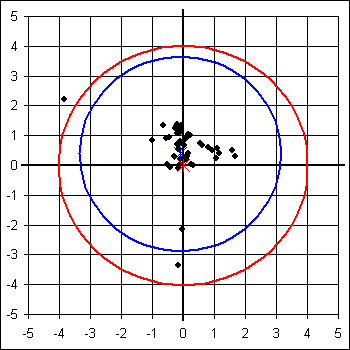
Silva Multi-Navigator
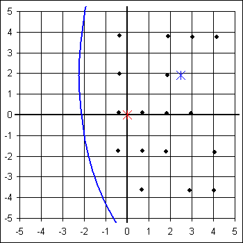
Trimble Pathfinder Power Sapos
| Garmin eTrex Legend | GEOsat GEOmeter 24pro | Leica GS50 AT501 | Leica GS50 AT501 Sapos | Lowrance iFinder | Magellan SporTrak Pro | MLR SP24 | Silva Multi-Navigator | Trimble Pathfinder Power | Trimble Pathfinder Power Sapos | |
|---|---|---|---|---|---|---|---|---|---|---|
| Systematische Abw Ostwert | 0,515 m | 0,165 m | 1,225 m | 0,608 m | -0,686 m | -1,579 m | 2,519 m | 2,474 m | 0,296 m | -0,095 m |
| Systematische Abw Nordwert | -1,810 m | -0,954 m | 0,641 m | 0,634 m | 0,243 m | 0,877 m | 0,436 m | 1,919 m | 0,792 m | 0,389 m |
| Systematische Abw Höhe | -7,766 m | -7,887 m | -4,463 m | -0,861 m | 36,090 m | -5,977 m | -2,330 m | -36,122 m | -3,230 m | -1,389 m |
| Systematische Abw Horizontal | 1,882 m | 0,968 m | 1,383 m | 0,879 m | 0,728 m | 1,806 m | 2,556 m | 3,131 m | 0,845 m | 0,401 m |
| Standardabw Ostwert 95% | 5,894 m | 2,330 m | 2,057 m | 0,741 m | 3,373 m | 2,539 m | 4,346 m | 4,716 m | 3,193 m | 3,252 m |
| Standardabw Nordwert 95% | 12,759 m | 3,395 m | 2,717 m | 2,291 m | 3,975 m | 2,767 m | 6,522 m | 9,254 m | 1,344 m | 3,265 m |
| Standardabw Höhe 95% | 13,026 m | 5,847 m | 7,062 m | 4,721 m | 8,773 m | 4,354 m | 4,643 m | 6,003 m | 8,269 m | 6,686 m |
| Standardabw Horizontal 95% | 9,891 m | 2,893 m | 2,398 m | 1,694 m | 3,669 m | 2,636 m | 5,447 m | 7,308 m | 2,438 m | 3,242 m |
| Quantil Horizontal 95% | 9,296 m | 3,419 m | 3,077 m | 2,551 m | 3,847 m | 3,669 m | 6,182 m | 9,395 m | 2,138 m | 4,013 m |
| Faktor Nordwert : Ostwert | 2,165 | 1,457 | 1,321 | 3,091 | 1,178 | 1,090 | 1,501 | 1,962 | 0,421 | 1,004 |
| Faktor Höhe : Horizontal | 1,317 | 2,021 | 2,945 | 2,787 | 2,391 | 1,652 | 0,852 | 0,821 | 3,392 | 2,062 |
Hier kann die Auswertung der Messergebnisse mit Microsoft Excel 2007 heruntergeladen werden:
2002-09-15_feld.zip (1,5 MB)

