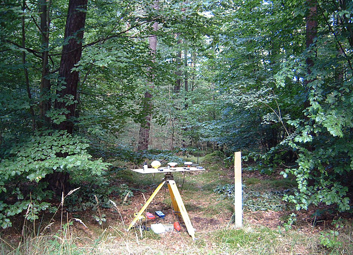
Wald D 2002-09-15
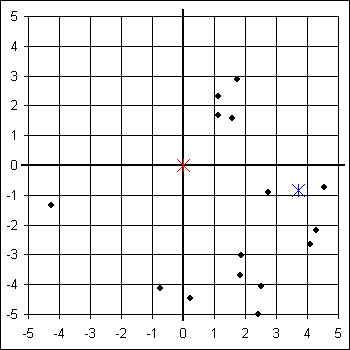
Garmin eTrex Legend
Leica GS50 AT501
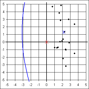
Lowrance iFinder
MLR SP24
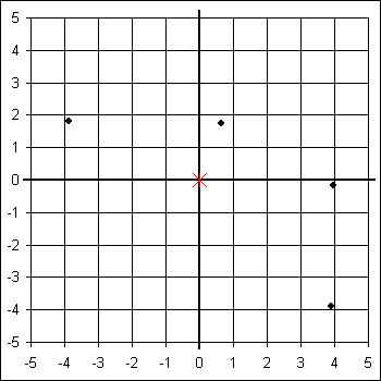
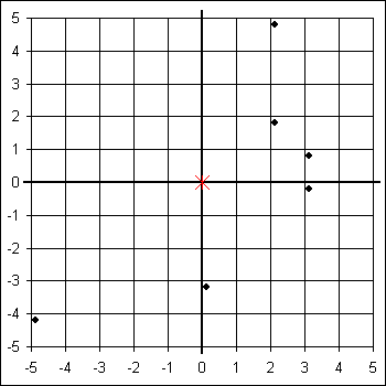
Trimble Pathfinder Power
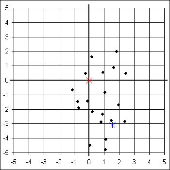
GEOsat GEOmeter 24pro
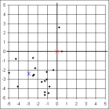
Leica GS50 AT501 Sapos
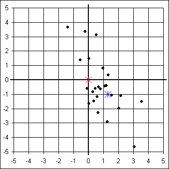
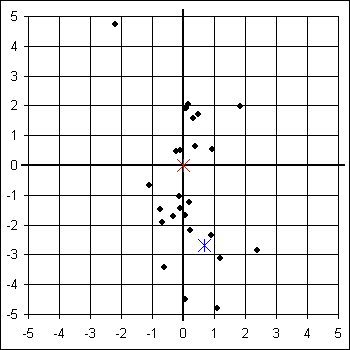
Magellan SporTrak Pro
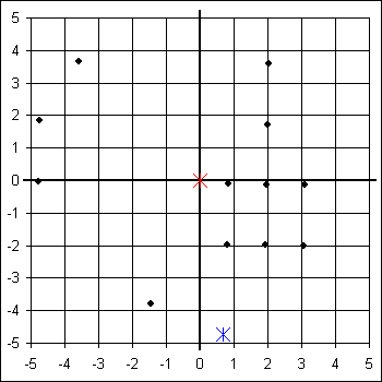
Silva Multi-Navigator
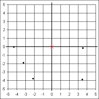
Trimble Pathfinder Power Sapos
| Garmin eTrex Legend | GEOsat GEOmeter 24pro | Leica GS50 AT501 | Leica GS50 AT501 Sapos | Lowrance iFinder | Magellan SporTrak Pro | MLR SP24 | Silva Multi-Navigator | Trimble Pathfinder Power | Trimble Pathfinder Power Sapos | |
|---|---|---|---|---|---|---|---|---|---|---|
| Systematische Abw Ostwert | 3,706 m | -2,927 m | 2,176 m | 1,306 m | 2,433 m | 0,675 m | -0,160 m | -6,521 m | 1,543 m | 0,685 m |
| Systematische Abw Nordwert | -0,823 m | -2,399 m | 1,298 m | -1,003 m | -9,343 m | -4,724 m | -9,022 m | -35,555 m | -3,092 m | -2,689 m |
| Systematische Abw Höhe | -0,845 m | -4,164 m | 5,015 m | 3,069 m | 52,385 m | 15,496 m | 14,144 m | -26,422 m | 9,705 m | 7,698 m |
| Systematische Abw Horizontal | 3,796 m | 3,785 m | 2,533 m | 1,647 m | 9,655 m | 4,772 m | 9,024 m | 36,148 m | 3,456 m | 2,775 m |
| Standardabw Ostwert 95% | 12,782 m | 9,765 m | 5,275 m | 8,318 m | 17,501 m | 9,273 m | 19,136 m | 90,510 m | 12,121 m | 11,257 m |
| Standardabw Nordwert 95% | 32,833 m | 19,689 m | 11,750 m | 16,893 m | 33,229 m | 26,410 m | 59,803 m | 307,403 m | 22,491 m | 18,803 m |
| Standardabw Höhe 95% | 50,803 m | 47,998 m | 19,115 m | 19,851 m | 38,957 m | 32,922 m | 74,977 m | 2,413 m | 49,594 m | 50,190 m |
| Standardabw Horizontal 95% | 24,792 m | 15,441 m | 9,042 m | 13,219 m | 26,417 m | 19,691 m | 44,047 m | 225,438 m | 17,964 m | 15,410 m |
| Quantil Horizontal 95% | 24,956 m | 20,348 m | 9,597 m | 15,655 m | 25,976 m | 21,187 m | 42,797 m | 359,789 m | 24,970 m | 17,615 m |
| Faktor Nordwert : Ostwert | 2,569 | 2,016 | 2,227 | 2,031 | 1,899 | 2,848 | 3,125 | 3,396 | 1,856 | 1,670 |
| Faktor Höhe : Horizontal | 2,049 | 3,108 | 2,114 | 1,502 | 1,475 | 1,672 | 1,702 | 0,011 | 2,761 | 3,257 |
Hier kann die Auswertung der Messergebnisse mit Microsoft Excel 2007 heruntergeladen werden:
2002-09-15_waldd.zip (1,5 MB)

